3D Mapping
3D Mapping Models Using Drone Technology Drone technology has changed the way businesses capture, analyze, and manage property and land…

3D Mapping Models Using Drone Technology Drone technology has changed the way businesses capture, analyze, and manage property and land…
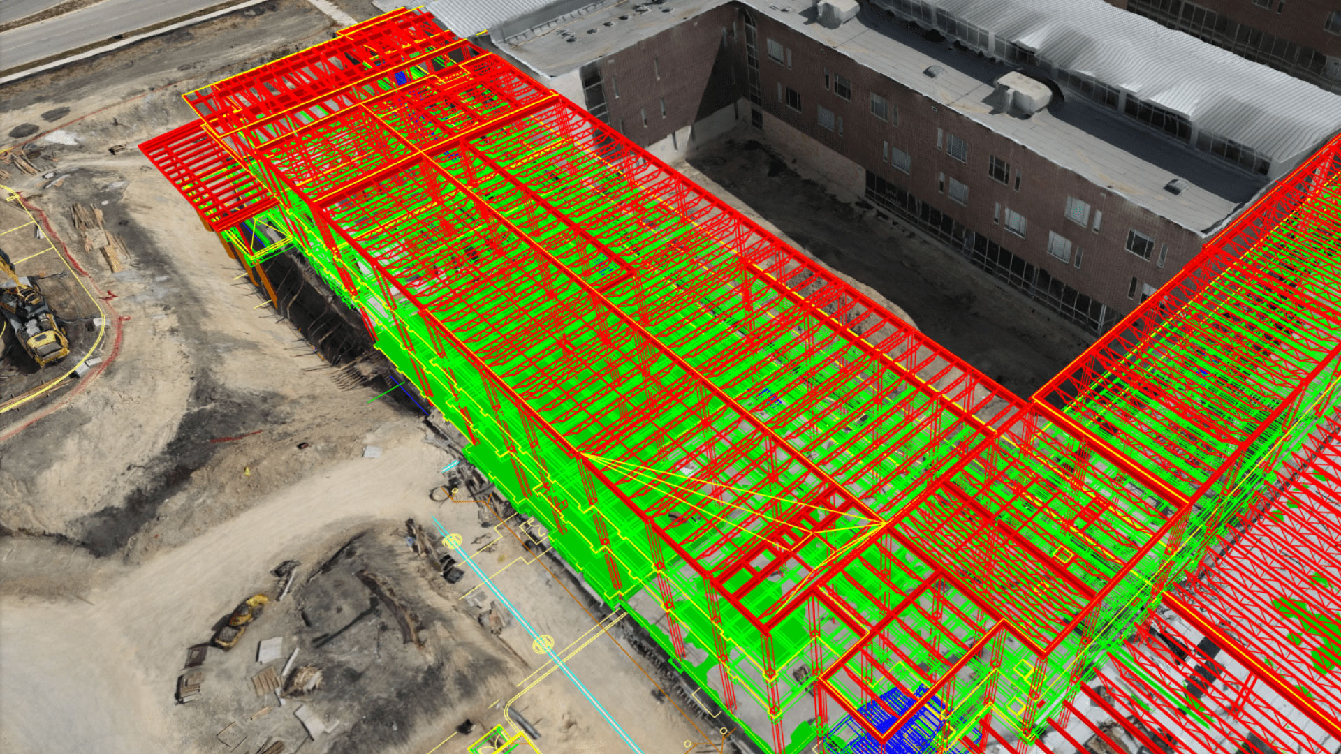
How Drone Inspections and Monitoring Improve Construction Efficiency Drone inspections and monitoring have transformed how construction companies manage projects. By…
Drone mapping for construction projects is transforming how job sites are planned, monitored, and managed. By using advanced aerial technology,…
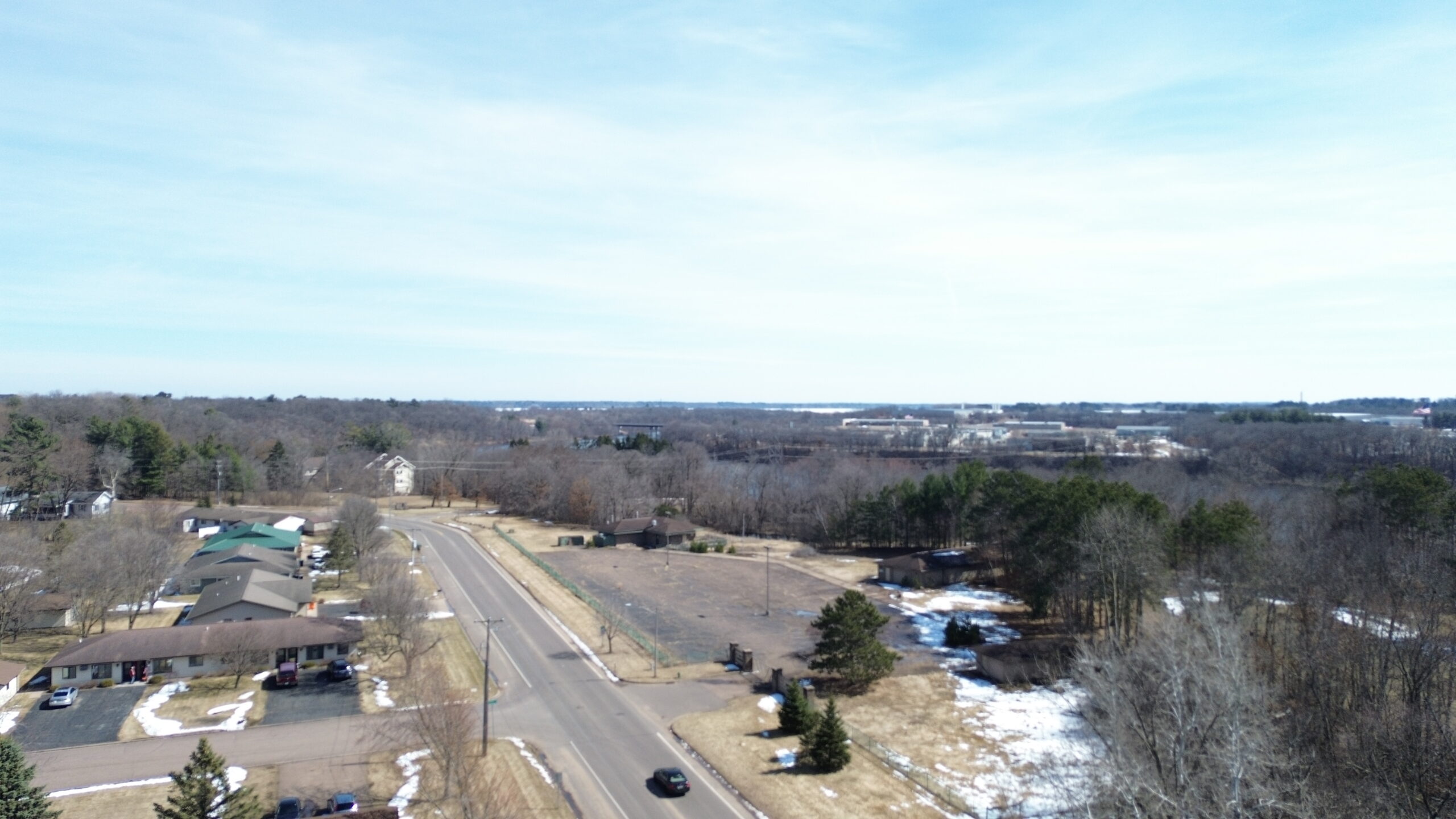
This aerial video showcases the Wissota Business Park in Chippewa Falls, Wisconsin. It highlights clean infrastructure, open layouts, and surrounding…