Drone Mapping for Construction Projects
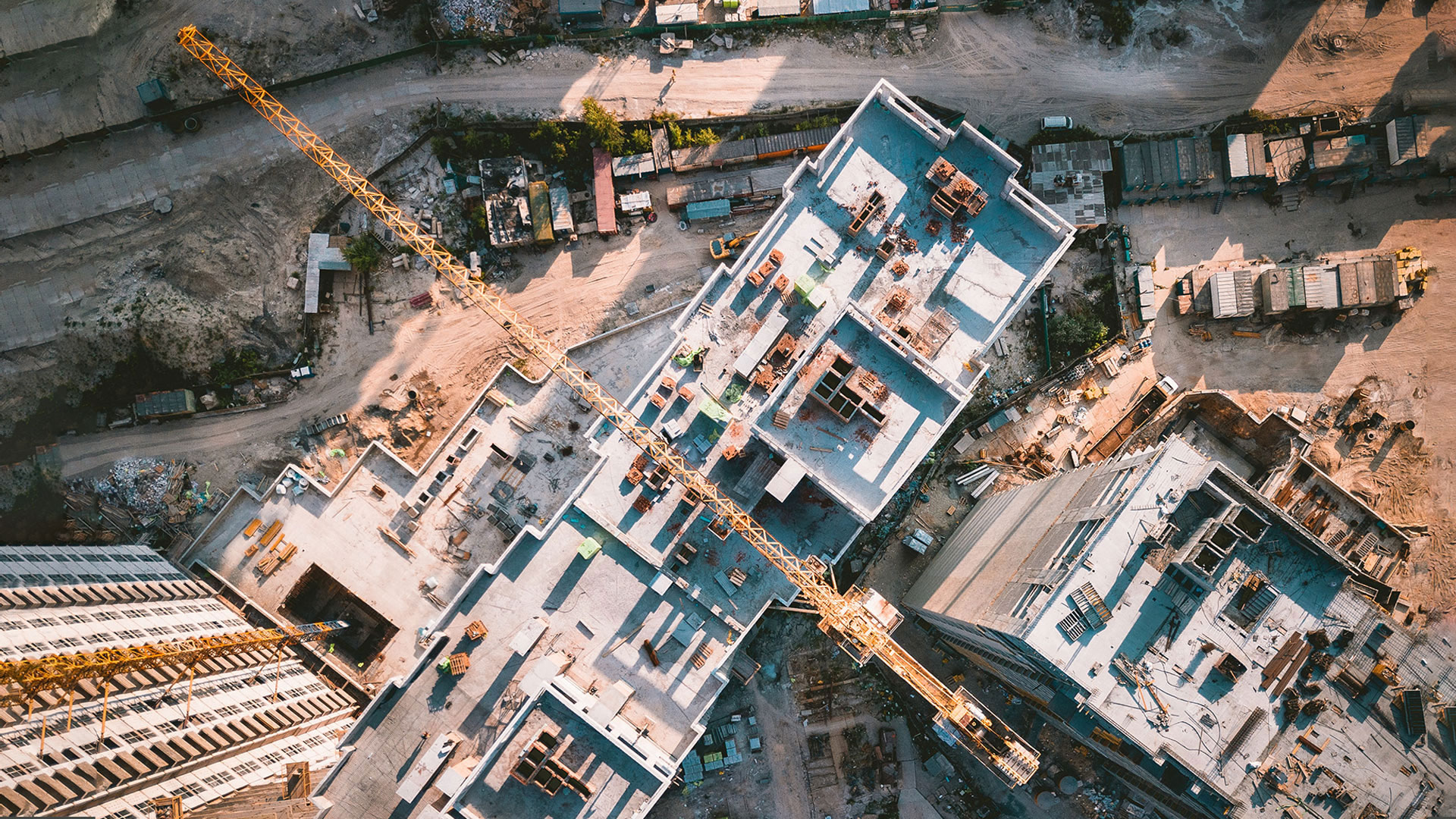
Drone mapping for construction projects is transforming how job sites are planned, monitored, and managed. By using advanced aerial technology,…


Drone mapping for construction projects is transforming how job sites are planned, monitored, and managed. By using advanced aerial technology,…
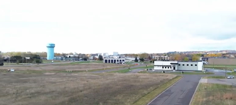
This aerial video showcases the Wissota Business Park in Chippewa Falls, Wisconsin. It highlights clean infrastructure, open layouts, and surrounding…
Seasonal Drone Photography Tips for Wisconsin Properties Drone photography transforms how properties appear across Wisconsin’s changing seasons. Each season offers…
3D Modeling with a Drone: Transforming Aerial Data into Accurate Digital Models What Is Drone 3D Modeling? 3D modeling with…
Beginner’s Guide to Making 3D Virtual Tours Creating 3D virtual tours is easier than ever with modern cameras, drones, and…
https://www.youtube.com/watch?v=IN5-A1Yeudg&t=4s Introduction to a Serene Winter Landscape This captivating winter wonderland drone video delivers a peaceful aerial journey through a…