3D Mapping
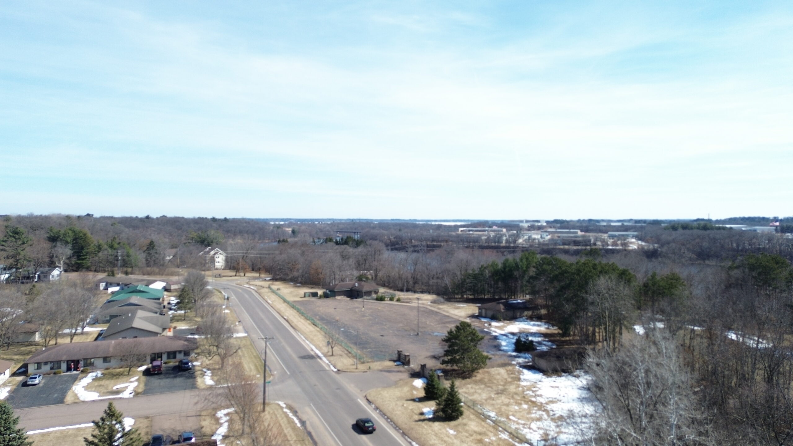
3D Mapping Models Using Drone Technology Drone technology has changed the way businesses capture, analyze, and manage property and land…

3D Mapping Models Using Drone Technology Drone technology has changed the way businesses capture, analyze, and manage property and land…
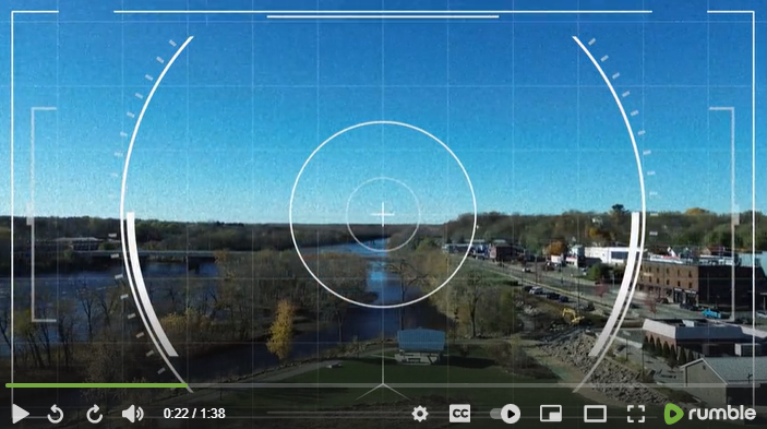
https://youtu.be/MESS8gaqwvA?si=JXYHpJYxzt7ozy56 This drone overlay video presents a dynamic aerial perspective enhanced with real-time flight data. The footage combines smooth drone…