3D Mapping
3D Mapping Models Using Drone Technology Drone technology has changed the way businesses capture, analyze, and manage property and land…

3D Mapping Models Using Drone Technology Drone technology has changed the way businesses capture, analyze, and manage property and land…
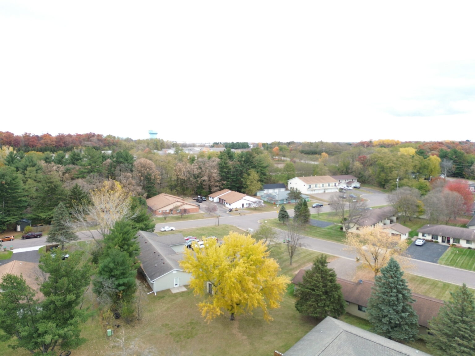
Seasonal Drone Photography Tips for Wisconsin Properties Drone photography transforms how properties appear across Wisconsin’s changing seasons. Each season offers…
Drone Photography vs Satellite In today’s competitive real estate market, Drone Photography vs Satellite images. High-quality visuals play a critical…
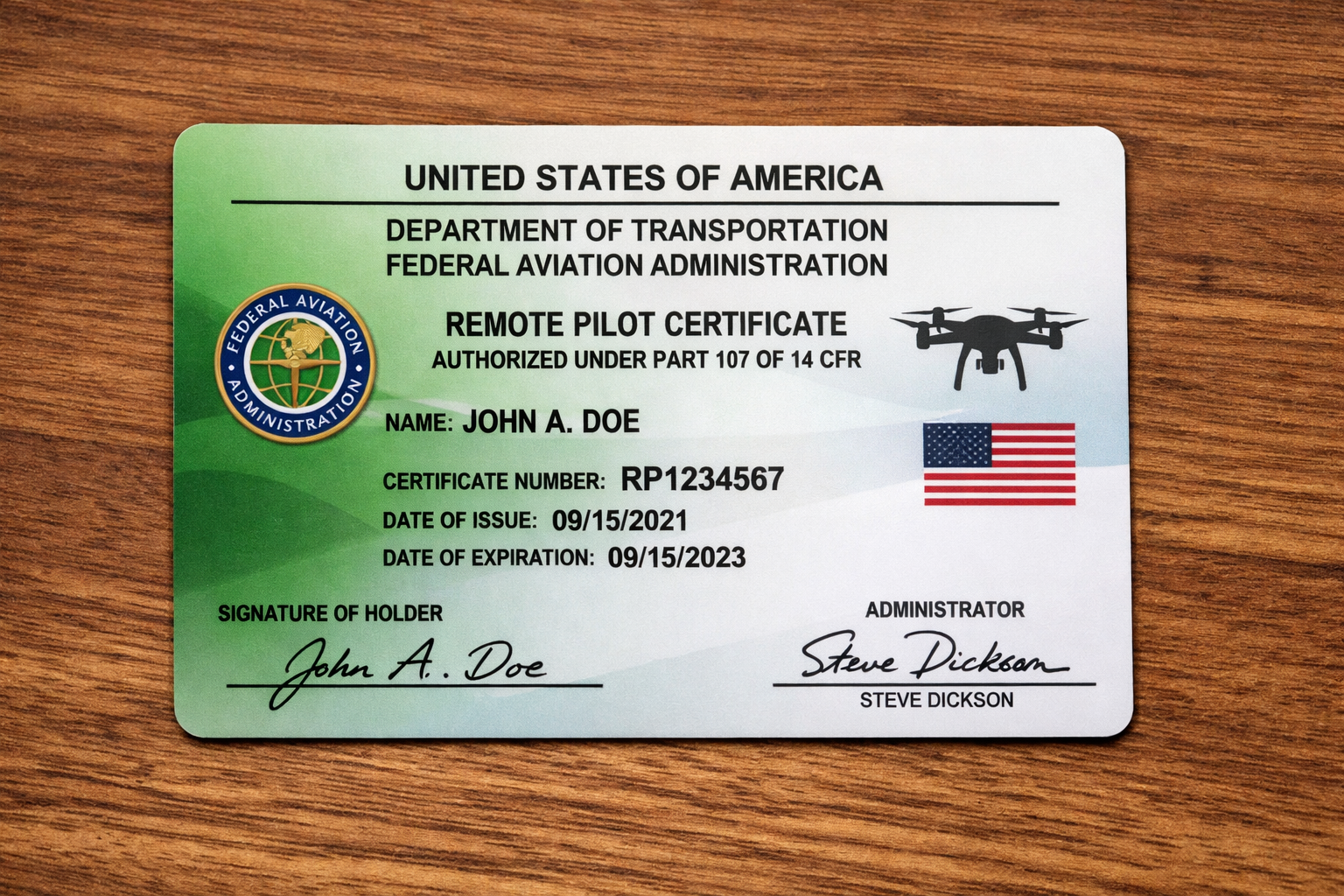
Why an FAA Part 107 License Is Required for Real Estate Drone Photography Drone photography has become an essential tool…